GIS mapping
Customise your map interface

Integration of your custom mapping
The Securysat GIS (Geographic Information System) option is a mapping interface that allows you to track vehicles, people or objects on different detailed maps sometimes overlaid.
Many professionals use specialised mapping software. They are used in a variety of fields:
- Land use planning
- Land registry management
- Networks: electricity, water, internet, antennas
- Fire hydrant infrastructure
- Exploits: agricultural, mining, forestry
- Zones: construction, storage, ports
Securysat GISS offers you the ability to manage complex data, such as your resources and services simultaneously on your business-specific map or sometimes on multiple overlay maps.
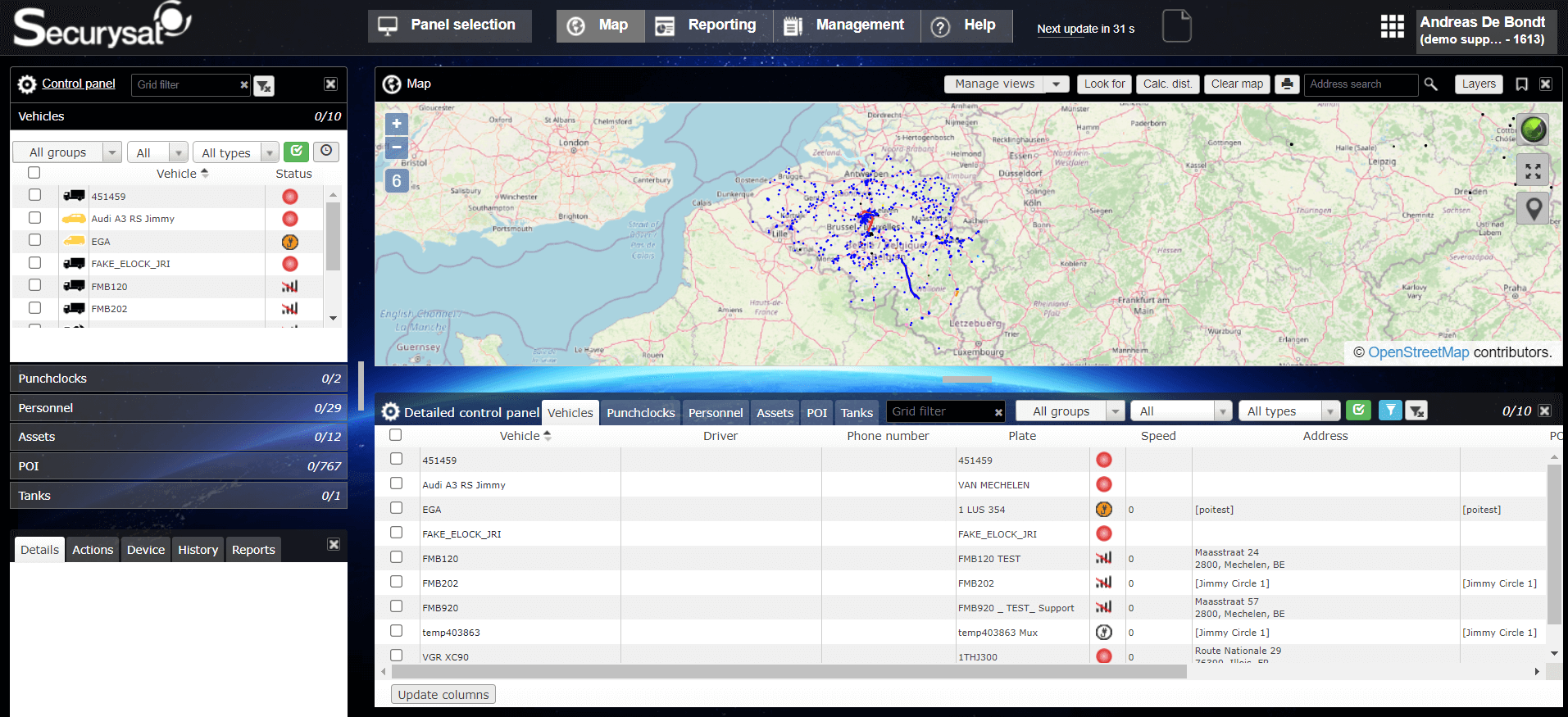
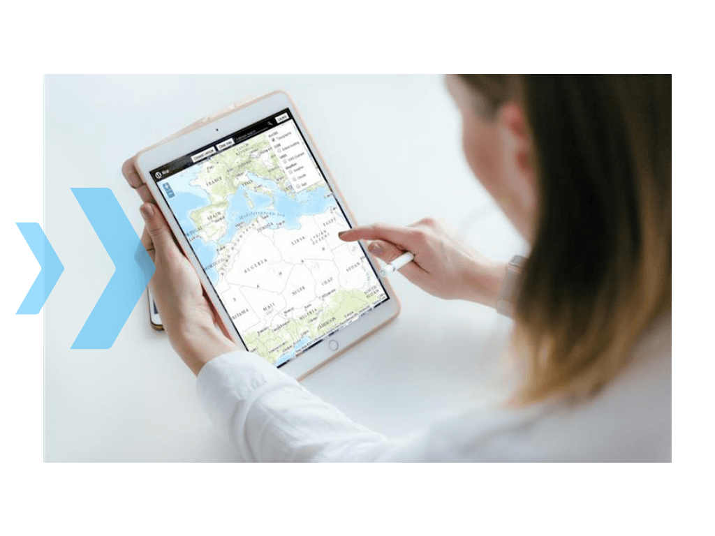
Activating the GIS module is simple: a single activation is enough, which allows you to avoid high development costs. In concrete terms, the Securysat interface will either display the maps in an overlay manner or the map to be substituted for the one provided by default in the application.
The power of the Securysat GIS module lies in its easy integration of your data as well as its very ergonomic user interface: a simple click makes the layer active and therefore visible on the map.
The module also allows you to load POIs (Point Of Interest) directly from the GIS layers. These POIs are used in reports, for example to produce statistics taking into account the position of vehicles near infrastructures located by the GIS. For example, when geolocating vehicles in a plantation, the aim is to produce position reports according to the operating blocks.
Securysat GIS supports the most common formats: AutoCAD DXF, KML, Shapefile (used by MapServer, Grass, Udig, MapGuide OpenSource GmapCreator, QGIS, GvSIG, etc.).
What our customers think of Viasat Connect
"Dankzij de Aidoo-oplossing kunnen wij aanzienlijk besparen op de tijd, de administratieve opvolging en het beheer van de middelen voor onze gezinsverzorgers".
"Dankzij de Aidoo-oplossing kunnen wij aanzienlijk besparen op de tijd, de administratieve opvolging en het beheer van de middelen voor onze gezinsverzorgers".

"Dankzij de Aidoo-oplossing kunnen wij aanzienlijk besparen op de tijd, de administratieve opvolging en het beheer van de middelen voor onze gezinsverzorgers".

"Dankzij de Aidoo-oplossing kunnen wij aanzienlijk besparen op de tijd, de administratieve opvolging en het beheer van de middelen voor onze gezinsverzorgers".

Our other solutions Fleet management
Plan and control the refuelling of machinery or fixed tanks and improve the productivity and profitability of your business
Find out more >Increase the safety of your drivers and improve the efficiency of your fleet
Save money by proactively managing preventive maintenance and servicing
Find out more >Take advantage of all telematics tools to prevent and analyse accidents
Record the usage data of your transport vehicles during their journey and track the driving activities of your drivers
Find out more >Customise your mapping and track your vehicles
Make full use of the data collected on Securysat
Find out more >Save money by proactively managing preventive maintenance and servicing
Find out more >Record the usage data of your transport vehicles during their journey and track the driving activities of your drivers
Find out more >Plan and control the refuelling of machinery or fixed tanks and improve the productivity and profitability of your business
Find out more >Take advantage of all telematics tools to prevent and analyse accidents
Customise your mapping and track your vehicles
Make full use of the data collected on Securysat
Find out more >